April Blizzard Buries Door County in Snow
- Share
- Tweet
- Pin
- Share

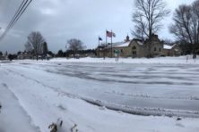
Door County was buried in 12 – 16 inches of snow by Saturday morning, with more snow expected to blanket the area again by Sunday evening. Warnings from the National Weather Service called for an additional 8 – 15 inches in Door County overnight, with blizzard conditions bringing winds as high as 60 miles per hour. A winter storm warning remains in effect until midnight Sunday.
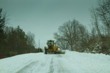
Door County Highway Commissioner John Kolodziej issued a plea early Sunday morning for people to stay off the roads.
“The on-going blizzard is creating extremely hazardous conditions,” he said. “Many roadways are impassable due to drifting and continuing snowfall. All non-emergency vehicles need to stay off all Door County roadways until crews have had a chance to open the roads, which will not occur until late this afternoon. The cooperation of the public during this type of snow emergency is crucial for their safety and those of all emergency operations personnel.”
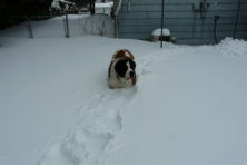
The snow is wet and heavy, making it even more difficult to move. Many roads are covered in ice. Crews worked until 6 pm Saturday, with some remaining on the highways to clear roads for emergencies. Crews were scheduled to head back out at 2 am.
Earlier Saturday, Kolodziej said that many vehicles already stuck in the roadway are creating problems and slowing the snow removal process.
Sturgeon Bay Mayor Thad Birmingham asked residents to stay off city streets during the storm.
“The amount, moisture content, and wind conditions make this storm especially challenging,” the mayor said in a statement Saturday. “Until the storm passes, please stay off of the streets as stuck motor vehicles have hampered snow removal efforts. Stuck motor vehicles not only delay snow removal operations but can also hinder travel of emergency vehicles.”
Concerts, high school athletics, and meetings across Door County were canceled Saturday and Sunday. The Door County YMCA announced that its facilities in Fish Creek and Sturgeon Bay will be closed Sunday.
The storm has made this the snowiest April on record.
Monday’s forecast calls for blustery conditions with snow and freezing drizzle in the morning and into the afternoon. Up to two inches of snow is expected, with highs in the middle 30s and wind gusts up to 25 miles per hour.
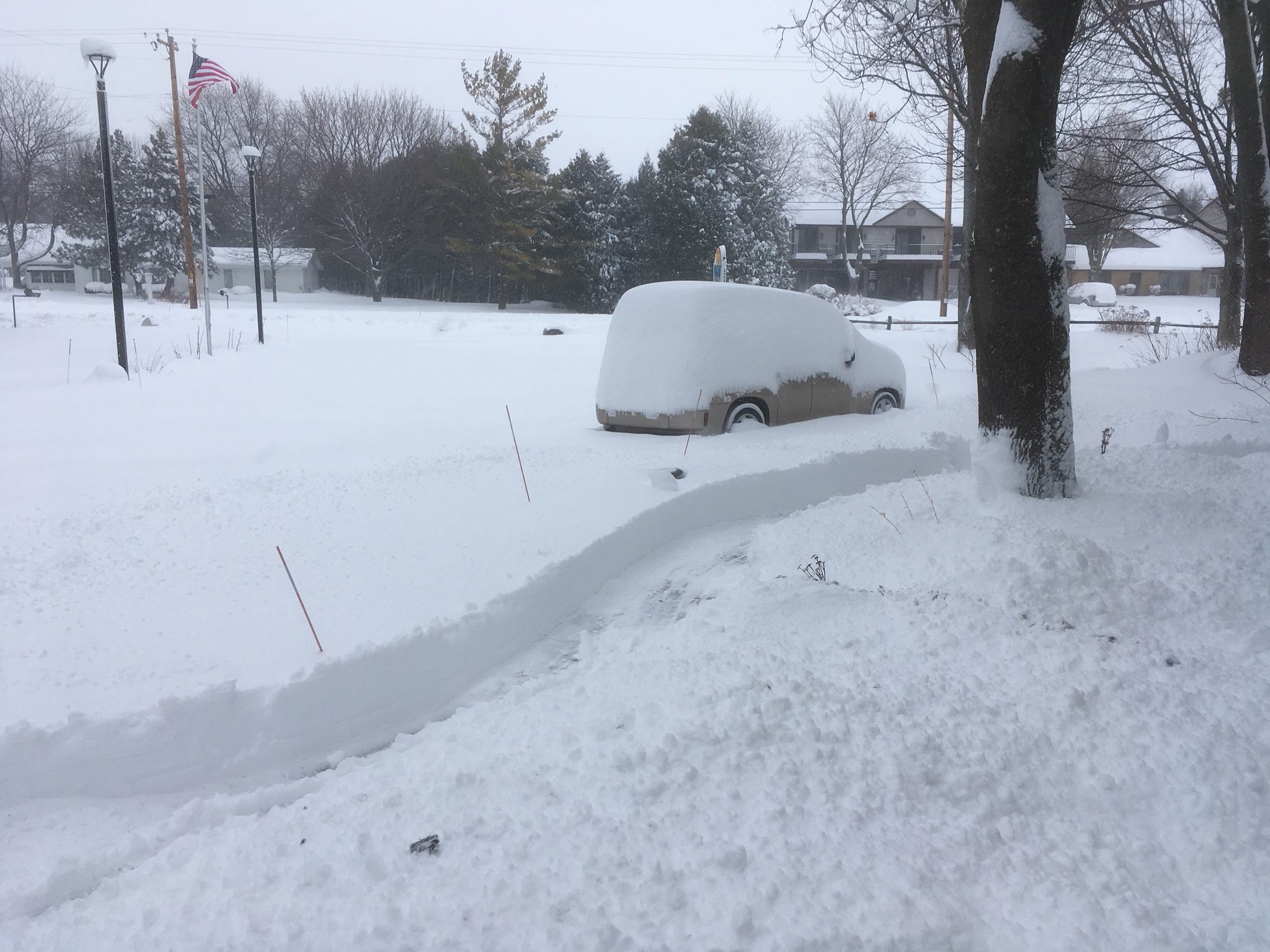
By Saturday morning the storm had dumped a foot of snow in Egg Harbor. Photo by Myles Dannhausen Sr.
WPS Working to Restore Power
As of Saturday night, Wisconsin Public Service said crews were still working to restore power to about 1,800 customers in Northeast Wisconsin. Crews have encountered tree limbs on power lines, downed trees and downed wires.
“In addition, crews are facing challenging road conditions as they travel to outage locations,” WPS spokesman Matthew Cullen wrote in an update Saturday night. “All available crews will continue to work throughout tonight and into Sunday to restore service to all affected customers. We also are bringing in additional outside crews to assist with our restoration efforts.”
“WPS strongly emphasizes that people need to stay at least 25 feet away from downed power lines, and should treat any downed line as energized. Anyone who comes across a downed line should immediately report it to WPS or to a local law enforcement agency. Also, customers should check energy meters and appliance vents for any accumulating ice and snow. Accumulating ice can damage a meter, while ice and snow can block natural gas appliance vents, trapping carbon monoxide indoors.”